|
||
|
| Physical
Address
(no physical address |
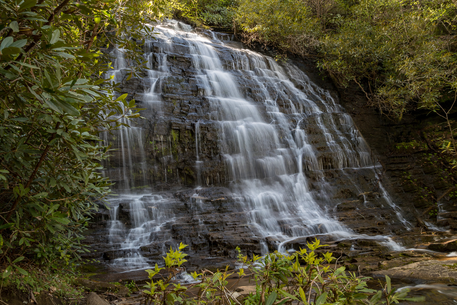
Photo Suggestions
|
|
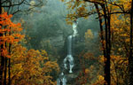
Be sure you hike to the upper
falls (best to shoot in late afternoon) |
|
|
There are several locations to
shoot from that will give you various angles |
|
|
On the way back down, shoot the lower falls |
Driving Tips and Other Information
|
|
From Walhalla, drive northwest on
SC Hwy 28 for approximately 8 miles - Bear right on SC 107 - Drive approximately 10.4 to Burrell's Ford Road - Turn left on Burrell's Ford Road (FS 708) - Partially paved for 0.3 mile, then hard packed gravel - Drive approximately 2.5 miles and park in the wide area of the road (on the right before you get to the bridge). - You will pass the parking area for Kings Creek Falls on the left at 2.3 miles. |
|
|
The hike begins at the kiosk. |
|
|
You will cross two creeks, the
first one may or may not have water in it. It is a small creek - The second creek is Spoonauger Creek (have to jump rocks to get across. - As soon as you cross the Spoonauger Creek, start looking for a sign on the right pointing towards the waterfall. (the sign maybe hard to see depending on foliage |
|
|
The 1/4 hike to the falls is easy
to moderate. You will pass a small falls (lower Spoonauger
Falls) - keep following the trail until you come to the upper falls. |
|
|
No bathroom facilities available |
Information compiled by Bob Spalding