|
||
|
| Physical
Address
(no physical address |
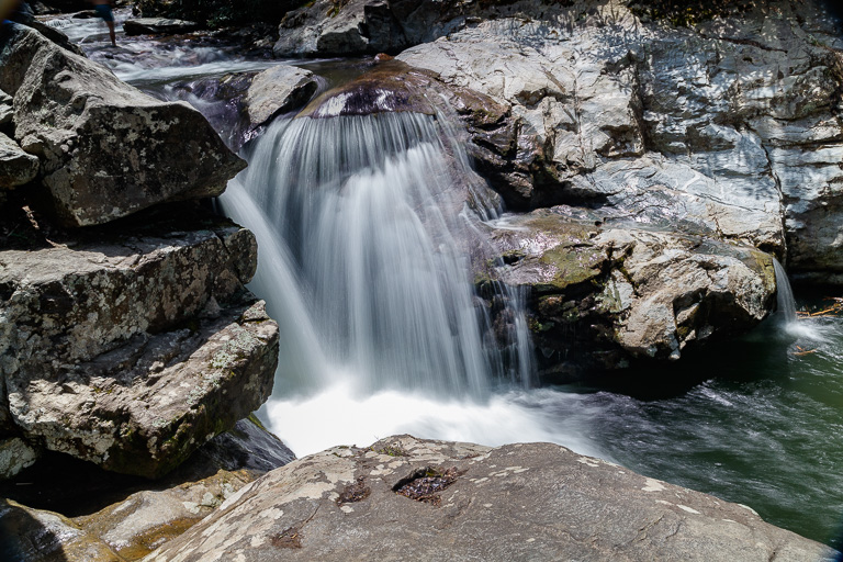
Photo Suggestions
|
|
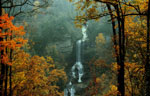
Best time to photograph this falls in late fall or
early spring (no swimmers are around then). |
|
|
The best photo of the falls is down a STEEP trail to
the river. You can then see the entire falls. |
|
|
However, following the trail towards the top of the falls, you can still get a good over all shot. (Be careful around the rocks. They can be slippery when wet. |
Driving Tips and Other Information
|
|
Located west of Boone off of Route 321, it is 5.4
miles west of the junction of routes 421 and 321.
Turn at Skateworld and follow Hwy 321N towards Johnson City As you head west (5.4miles), look for a pull-off/parking area on your right Park here and then cross Route 321 and you will see the trail. A 0.15 mile trail leads to the falls pictured above. Another waterfall, Watauga Falls, is located 0.2 miles further
west on Route 321 (I haven't visited that one yet). |
|
|
No bathroom facilities available |
Information compiled by Bob Spalding